Stage 3
Pie Town to Cuba (Coo-ba)--July 9th, 2005
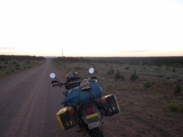
The sun hasn't risen over the distant mountains yet as we head North from Pie Town at 60mph on this high speed dirt road. Monty wasn't used to traveling this fast on anything except pavement and would comment to me and Kevin that we road faster on loose gravel and dirt than we did on pavement.
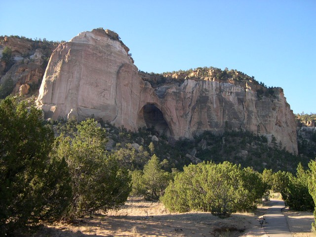
South of Grants, New Mexico we run thru an area called "The Narrows" which included some beautiful rock bluffs that reminded me of Utah and then we saw this beautiful Natural Arch---which Utah is just full of.
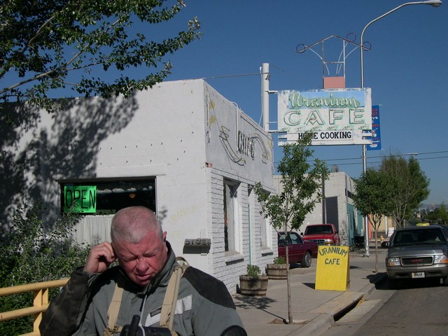
Another must stop is in Grants, New Mexico
The Uranium, Cafe--there is part of a 55 Chevy in the Cafe--really neat friendly
place with a really good breakfast and coffee.
There was much uranium mining done in this area and a mining museum was just
across the street----it would have been interesting I'm sure---but--I'm a
motorcyclists, and off we road.
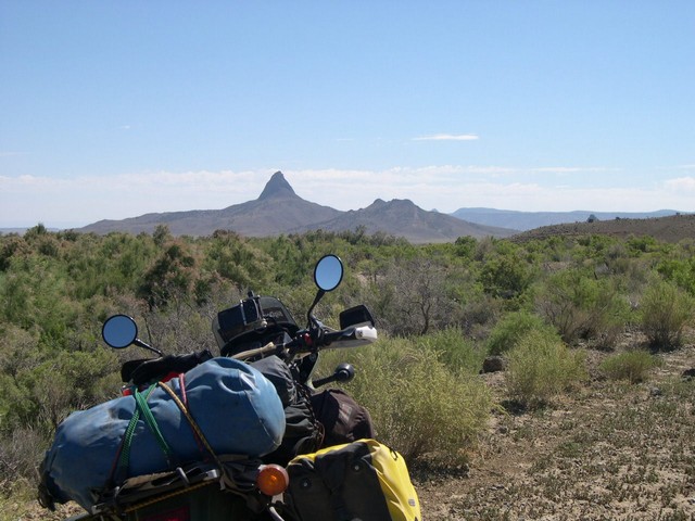
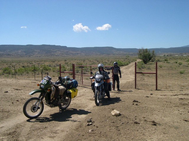
We rode out into Ranch land for at least 50 miles on a very small dirt road with "Dado" peak always in our view. Getting out here was very tricky and it looked like we were trespassing right thru a big ranch as I rode right thru what seemed to be just a feed lot with no visible sign of a road at all. I was following a GPS tracklog I downloaded from Mr. Hackneys ride and was sure it was OK--so off we went.
I haven't mentioned the need for water on this whole ride---carry at least
a gallon or more with you--it may save your life. You dehydrate very fast
out here and need to drink constantly whether you feel like it or or not--this
will also help prevent altitude sickness which can be very serious.
We opened and close at least 6 ranch gates and rode over 40 cattle guards just in this area. It was to be one of the most remote areas on our ride--and for me one of the most beautiful.
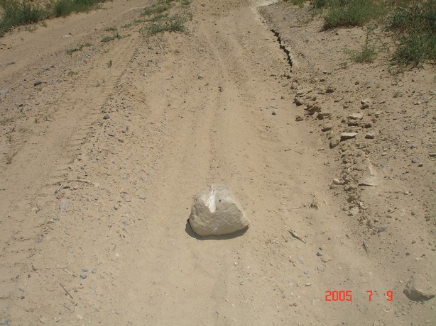
Never new an itsy bitsy teeney weeney little rock could cause so much trouble
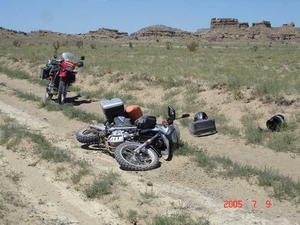
Now where does this go ???
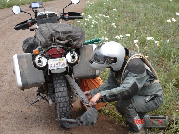
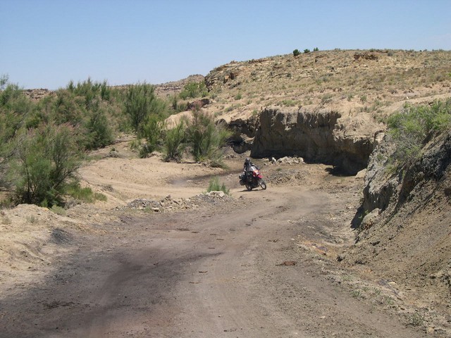
This whole route thru here is totally impassable if very wet---the roads turn into sticky gooey mud from hell and this deep wash Kevin is riding thru would be several feet deep in fast running water. It is a long way thru here with nothing in sight---don't go in here if the weather is questionable---or be prepared to wait till it dries up.
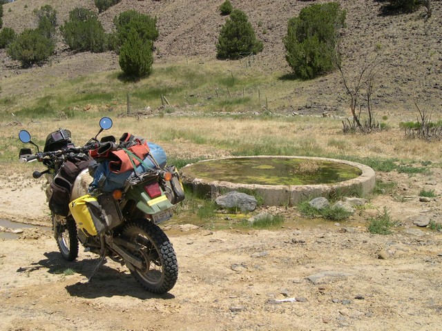
I found this spring while probing around my Garmin Mapsource
Topo mapping software and marked it as a waypoint on our GPS ride route--I
did this with many things---sure enough there it was.
It's called "Ojo Frio Water Well"
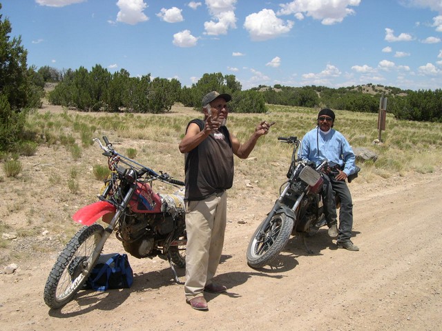
We were under a shade tree eating a roadside snack when along comes these 2 adventure riders. They were full blooded Arapaho indians and spotted us under the tree and dis-mounted their horsee's---pulled out 2 very hot beers and joined us for a desert lunch--walked over to us killing a tarantula on the way. It was a great time talking to these guys--the older gentleman and his ancestors had hunted these lands forever---he new every inch of the territory. They were friends and neighbors and he had me to write down his address (a Post Office box) and made me promise to send him this picture---and I certainly will.
It was on to Cuba (Coo-ba) for the night.
209 miles for the day
Stage 4 On to Camp Luqunitas--and a very scary night as Kevin got deathly ill and I was threatened with a gun while camping!!!